


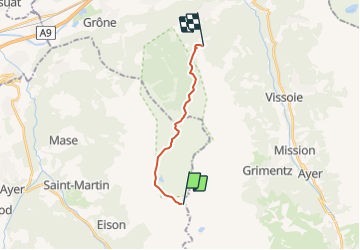

6.3 km | 9.8 km-effort


User


FREE GPS app for hiking
 SityTrail
IGN / Geographical institutes
SityTrail World
The world is yours!
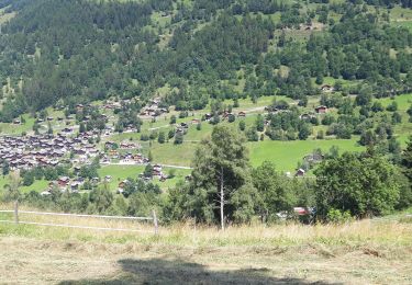
Trail Other activity of 11.5 km to be discovered at Valais/Wallis, Hérens, Saint-Martin (VS). This trail is proposed by Dgubler.
itinéraire de l''excursion au Vallon de Réchy d''Ecoréseau, le 5 août 2007, entre la cabane des Becs de Bosson et la station de Sigéroula de la télécabine Crêt-du-Midi - Vercorin. Plein de plantes rares, une magnifique réserve naturelle

On foot

On foot
On foot
On foot
Walking
Walking
On foot

Walking
Walking